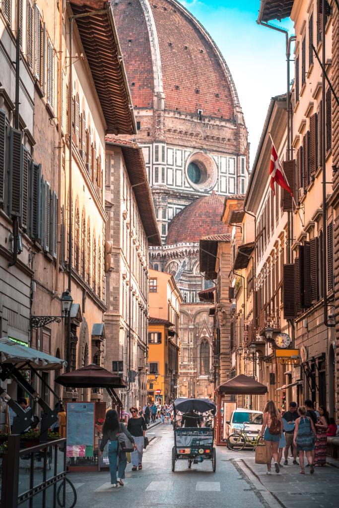
No. I’m not talking about the US government application for permanent residency. I’m talking about a stretch of highway planned in the ATL but never built.
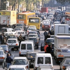
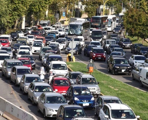
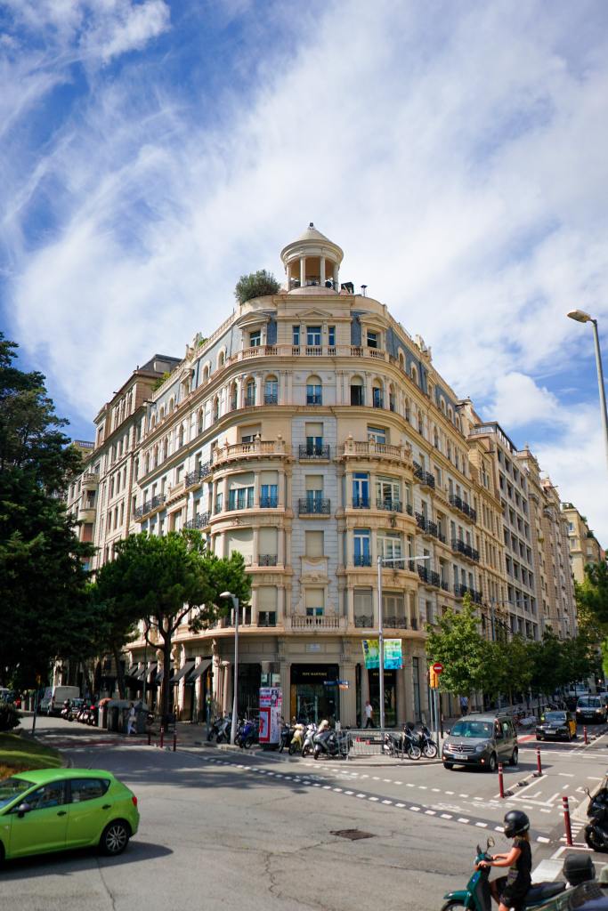
Every Atlanta resident knows about the ‘Connector’, the infamous traffic clogged 12 to 16 lane piece of street that is currently one of the most congested roads in America and the stuff of nightmares for most Atlantans. It carries 437k cars daily – Pre-COVID of course.
Did you know there were supposed to be two of them? Well, ok not exactly. The uncreated one wouldn’t have ‘connected’ two converging highways for 7.4 miles. What I meant was that there was supposed to be another major north-south highway running along the east side of the ATL.

(Bottom) Wikipedia
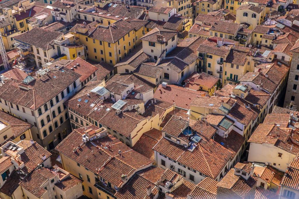
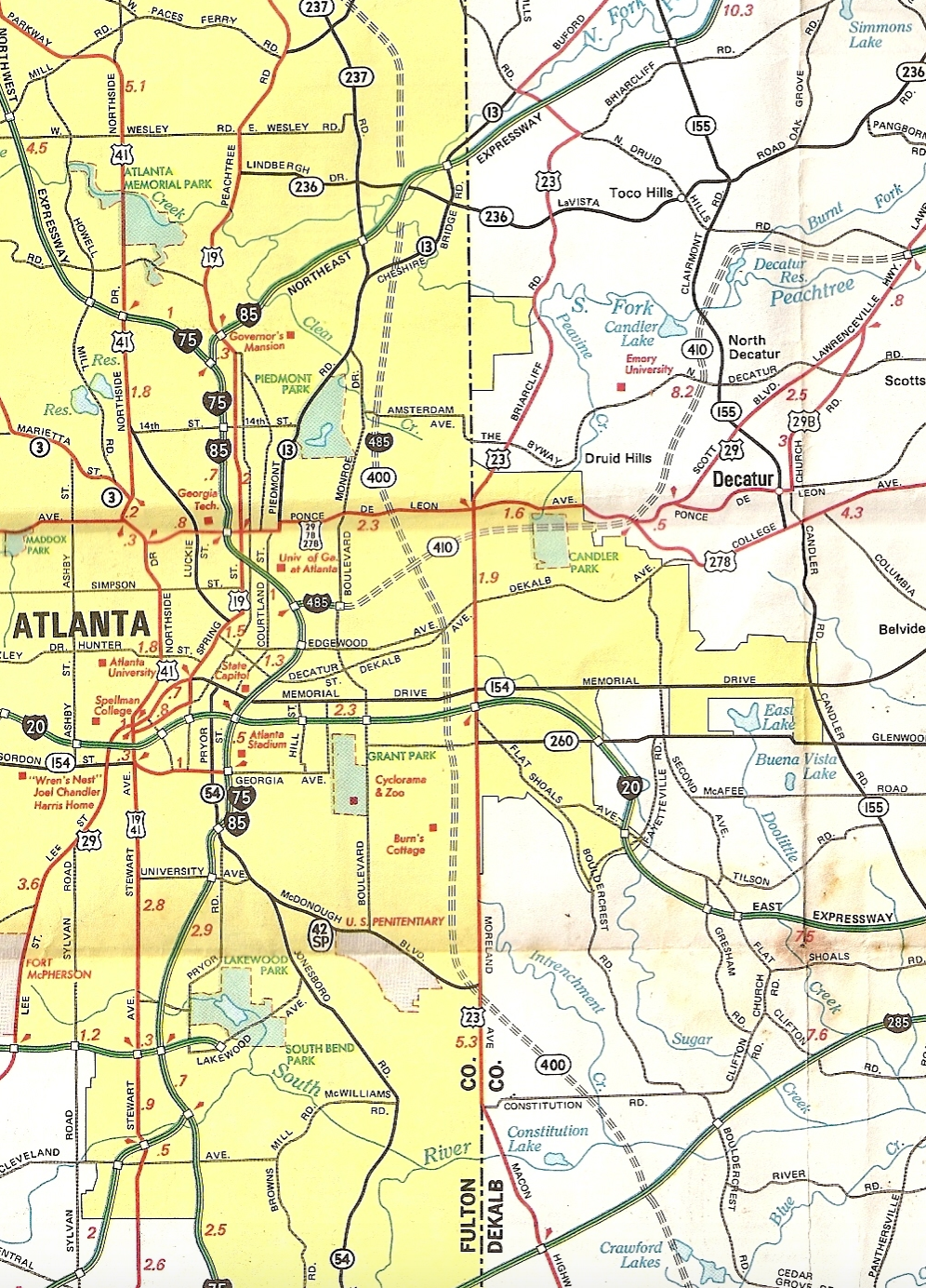
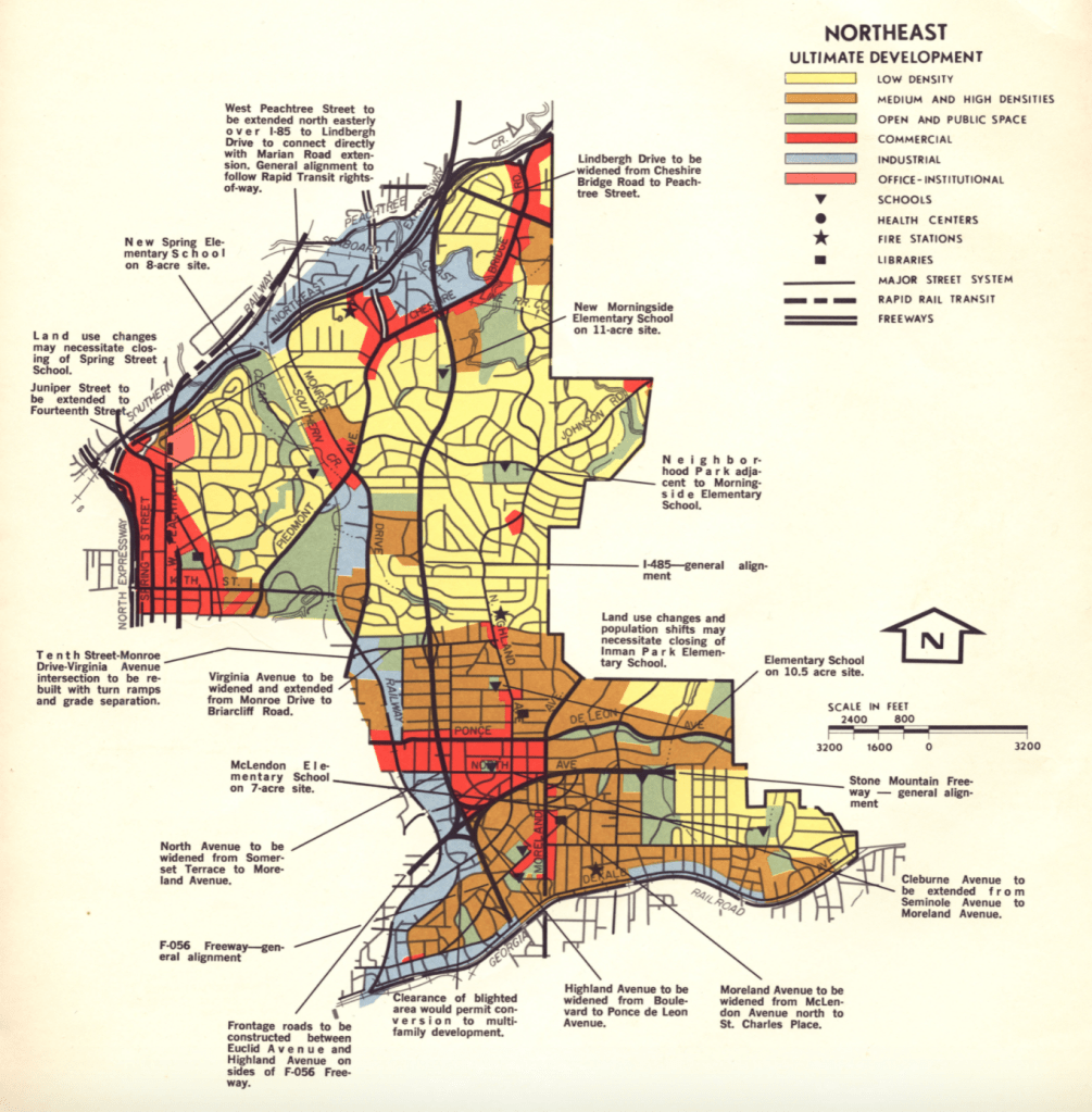
The triple dotted line shown in map on the top-left as well as the north-south red line depicted in the map on the top-right illustrate how I-485’s was to have run parallel to the east of today’s Connector. The map just below depicts a close-up of I-485’s planned route through Atlanta’s eastern neighborhoods of Inman Park, Morningside, and Virginia Highlands. This map’s southern border is delineated with the Georgia railroad where MARTA’s Blue Line currently also runs. The northern border shows I-85’s interchange with I-485 where today’s present GA-400 interchange sits.
The freeway would have created a thoroughfare (see the top-right map) from what today is known as I-675 to GA-400. These respective roadways were originally planned as part of I-485. However, with the cancellation of the interstate creating two disconnected roads, I-675 and GA-400 were given different names and are now maintained by the federal government and Georgia state governments respectively.
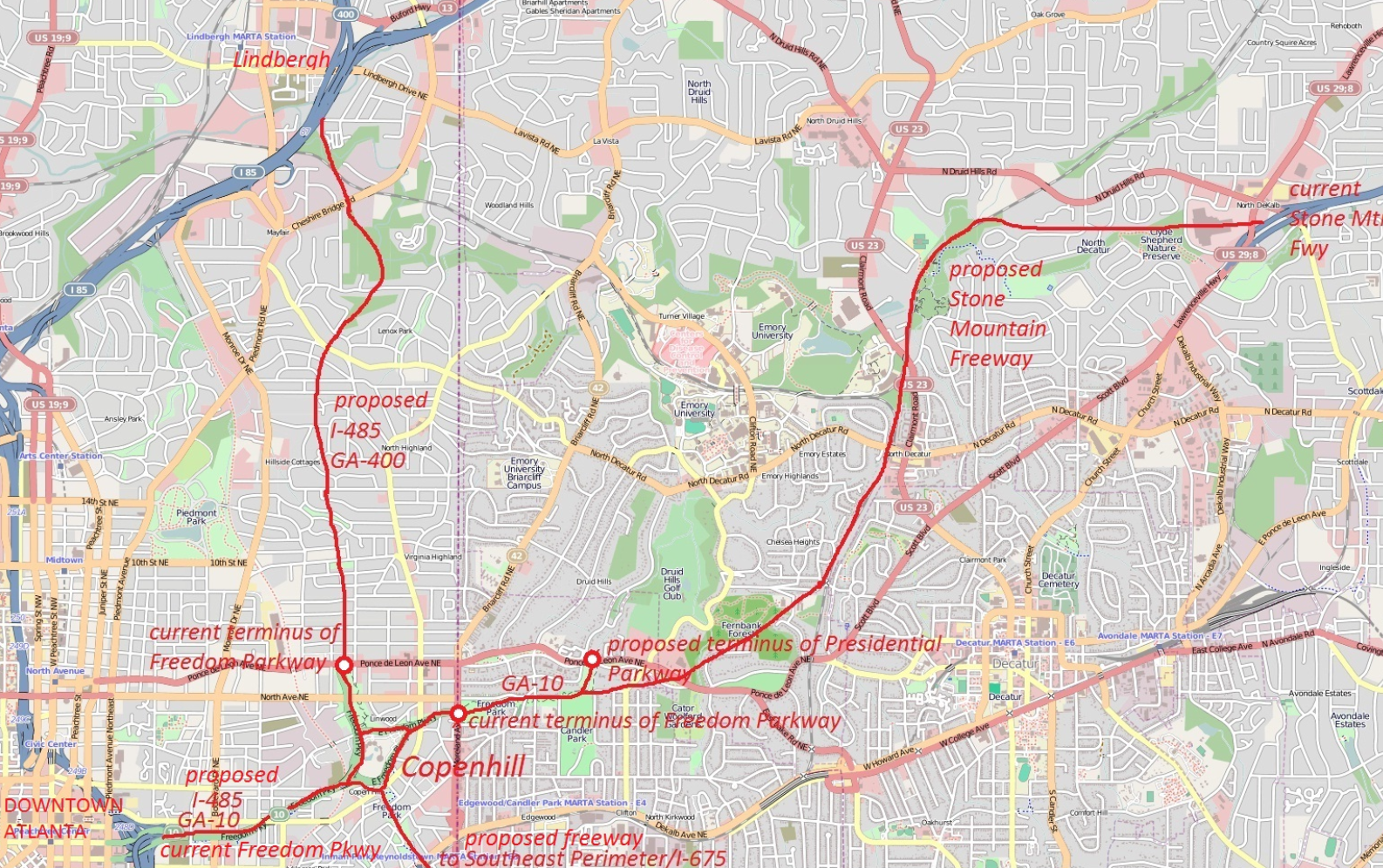
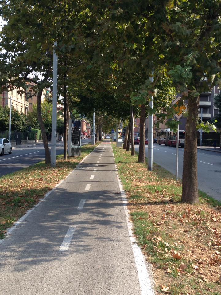
This above map shows how I-485 was part of a larger system of east-west and north-south freeways planned for the City of Atlanta known as the Lochner Plan. I-485 would have met with today’s Stone Mountain Freeway at Copenhill. When plans for these two intercity freeways were canceled in the early 1970’s, though, their right-of-ways were used for the Jimmy Carter Presidential library and the 1990’s construction of Freedom Parkway.
Why was I-485 never built? The Atlanta Freeway Revolts.
1946. The Lochner Plan is instituted. World War II is done. Housing demand in Atlanta has pent up as the population has grown during the war. Little to zero public and private capital has been invested in real estate or infrastructure as it has been diverted to the war effort in a patriotic fervor. Personal capital is also still limited as a result of the Great Depression’s economic fall out. To accommodate Atlanta’s burgeoning population at a time of limited housing stock and finances, neighborhoods including Inman Park, Morningside, and Virginia Highlands was seeing homeowners rent out spare rooms and garages or subdivide single family homes into multi-family units (Hall).
As private and public funds freed up immediately after the war, the ability to meet housing demands with new development began. Infrastructure needed to accommodate the future commuters of car-centric 20th century Atlanta as the population moved to the city’s newest suburbs along the edges of Fulton County and the surrounding counties. Along with the creation of the Federal Interstate system and its expressways through Atlanta, the Lochner Plan was born (Hall).
Atlanta was booming, but its inner city neighborhoods that had seen a growth in density during the war were emptying out amidst the city’s rapid socioeconomic and infrastructural changes. Property value decline in central Atlanta followed, and these neighborhoods became the perfect target for demolition (Hall).
The first executions of the Lochner Plan proved controversial. The construction of its first legs – GA-400, The Stone Mountain Freeway, and the Lakewood Expressway (all denoted in the map below) – tore through neighborhoods and displaced existing populations. These first freeways were easily completed in the 1950’s as the Civil Rights Movement gripped the south’s attention. However, as the movement gained momentum through the end of the 1950’s a strong sense of public activism and empowerment made its way into the American South’s culture. By 1964, when the construction of I-485 was announced, this growing attitude helped shift attention in greater numbers to the frustrations and consequences of intercity population displacement (Grant).

Source: Jake Grant
An important socioeconomic topic should be noted. The neighborhoods I-485 would have run through were more politically connected and endowed within Atlanta society than the neighborhoods displaced by the ‘successfully’ constructed freeways. Residents created powerful neighborhood organizations raising awareness among neighbors to not sell their homes to government entities or real estate brokers working on the expressway; raising funds for filing lawsuits against the City of Atlanta, GDOT; and stopping opposing neighborhood groups from pushing the freeway into their turf. I-485 stayed locked in this legal and grassroots stalemate until in 1973. On June 19th, Atlanta’s Board of Alderman and the Federal Department of Transportation signed separate rejections of varying bills needed to move I-485 forward. By 1975, Georgia’s governor ordered the interstate completely removed from Georgia’s maps (Grant).
Usually at the end of posts like these I enjoy posing some sort of meta question that gets y’all thinking about the implications of these types of urban decisions. This time around though I figured it would be fun just to shed a little light on a very decisive yet long forgotten tidbit of Atlanta’s urban history.
Sources
Morningside Lennox Park Association. Hall, Van. The Interstate that Almost Was. 1994. vahi.org. ttps://vahi.org/wp-content/uploads/interstate_that_almost_was.pdf
Interstate-Guide.com. Interstate I-485 Georgia. https://www.interstate-guide.com/i-485-ga/
Grant, Jake. Rearview Mirror Feature: The Atlanta Freeway Revolts. 2020. fromtherumbleseat.com. https://www.fromtherumbleseat.com/2020/5/6/21245826/rearview-mirror-feature-the-atlanta-freeway-revolts-georgia-tech-expressway-politics-state-urban